When are you Travelling?
South Iceland's Highlights
History and nature
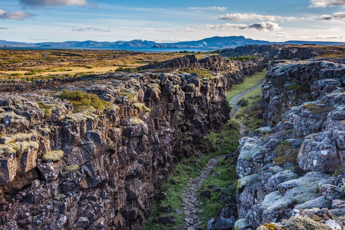
Þingvellir National park
As one of the most important places in Icelandic history. In the year 930 the Alþingi, one of the oldest parliamentary institutions of the world, was founded. As a national park (since 1928) because of the special tectonic and volcanic environment.
More details
Nature
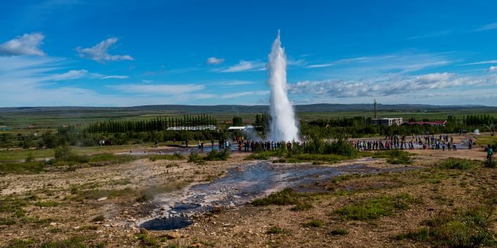
Geysir Geothermal area
One of the greatest natural attractions of Iceland and part of the famous "Golden Circle Tour", The Great Geysir, or Stori-Geysir, has been dormant since 1916 when it suddenly ceased to spout. It came to life only once in 1935, and as quickly went back to sleep. The attraction of the area is now Strokkur (The Churn), another geyser 100 meters south of the Great Geysir, which erupts at regular intervals every 10 minutes or so and its white column of boiling water can reach as high as 30 meters.
Read more
Nature
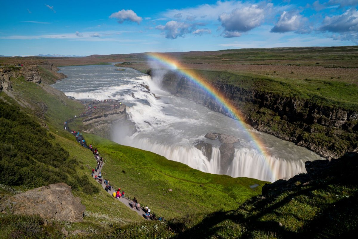
Gullfoss waterfall
Gullfoss is actually two separate waterfalls, the upper one has a drop of 11 metres and the lower one 21 metres. The rock of the river bed was formed during an interglacial period.
Find out more
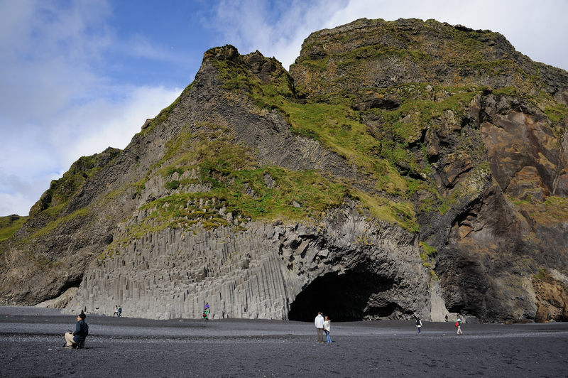
Reynisfjara Black sand beach
On Reynisfjöru beach, very beautiful basalt formations in the south part of the mountain can be seen, and there you will find an exceedingly beautiful cave called Hálsanefshellir.
Read more
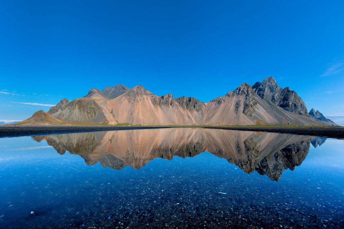
Vestrahorn Mountain
One of the first settlement farms in Iceland was Horn, built by Hrollaugur son of Rögnvaldur. The Hornafjörður Municipality and other sites are named it. Horn means the same thing in Icelandic and English. At Stokksnes you can feel the power of the Atlantic Ocean as the waves hit the rocky shore with massive force.
Read more
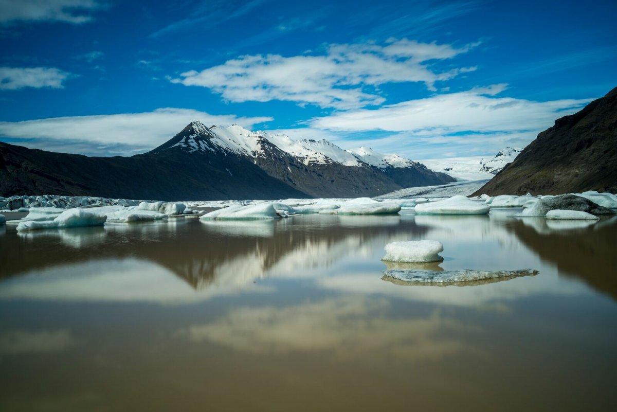
Vatnajökull National park
The south side of Vatnajökull is characterised by many high, majestic mountain ridges, with outlet glaciers descending between them onto the lowlands. The southernmost part of the glacier envelops the central volcano Öræfajökull and Iceland's highest peak, Hvannadalshnúkur.
Read more
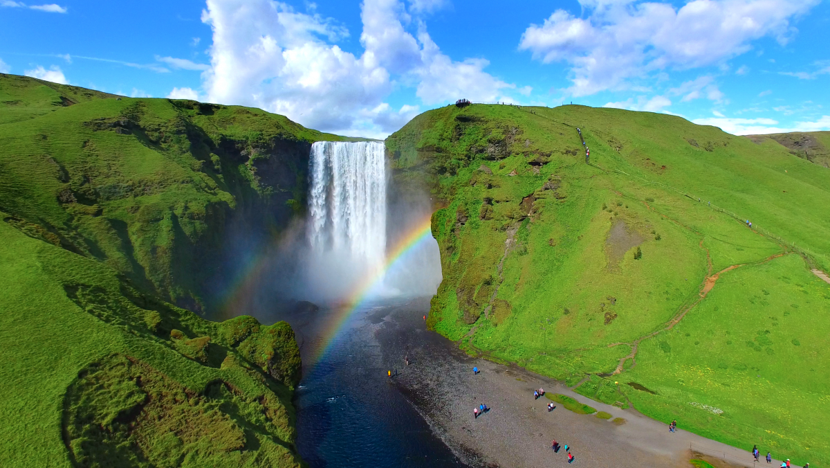
Skógafoss Waterfall
The greatest attraction of Skógar is of course the beautiful 60-metre high Skogáfoss waterfall in the river Skógá. If the sun conditions are favourable - one can see a vivid rainbow in front of the waterfalls.
Read more
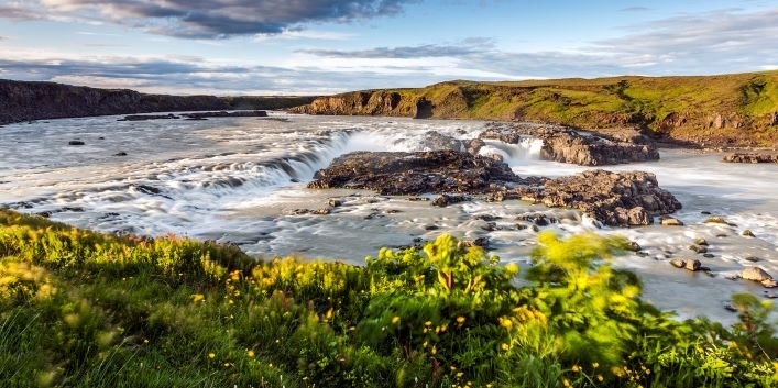
Urriðafoss Waterfall
Urriðafoss is a waterfall in Þjórsá River. Þjórsá is Iceland’s longest river, 230 km, and Urriðafoss is the most voluminous waterfall in the country. This mighty river drops down (360 m3/sec) by the edge of Þjórsárhraun lava field in beautiful and serene surroundings. Þjórsárhraun lava field is the result of the greatest lava flow on earth since the Ice Age. Located right off highway 1.
Read more
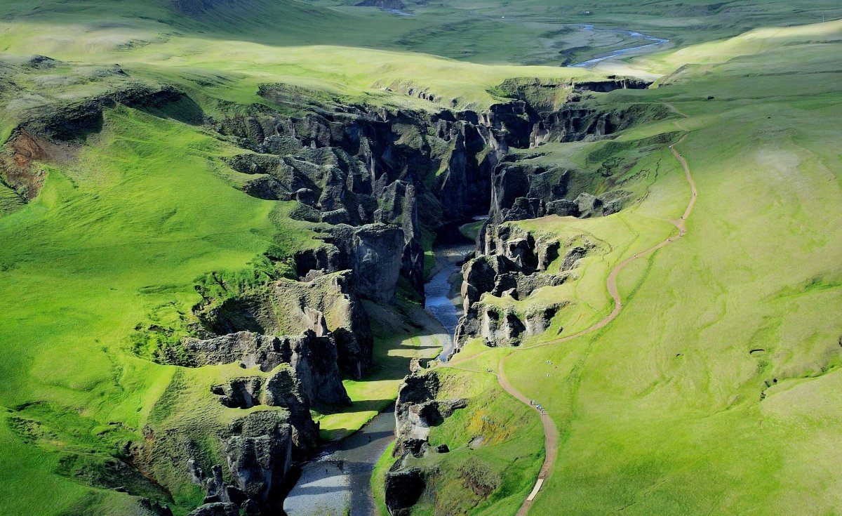
Fjaðrárgljúfur Canyon
Fjaðrárgljúfur is a magnificent and massive canyon, about 100 meters deep and about two kilometres long. The canyon has sheer walls, and is somewhat serpentine and narrow. The bedrock in Fjaðrárgljúfur is mostly palagonite from cold periods of the Ice Age and is thought to be about two million years old. The river Fjaðrá has its source in the mountain Geirlandshraun and falls off the heath edge in this stunning canyon until it makes it down into Skaftá river.
Read more
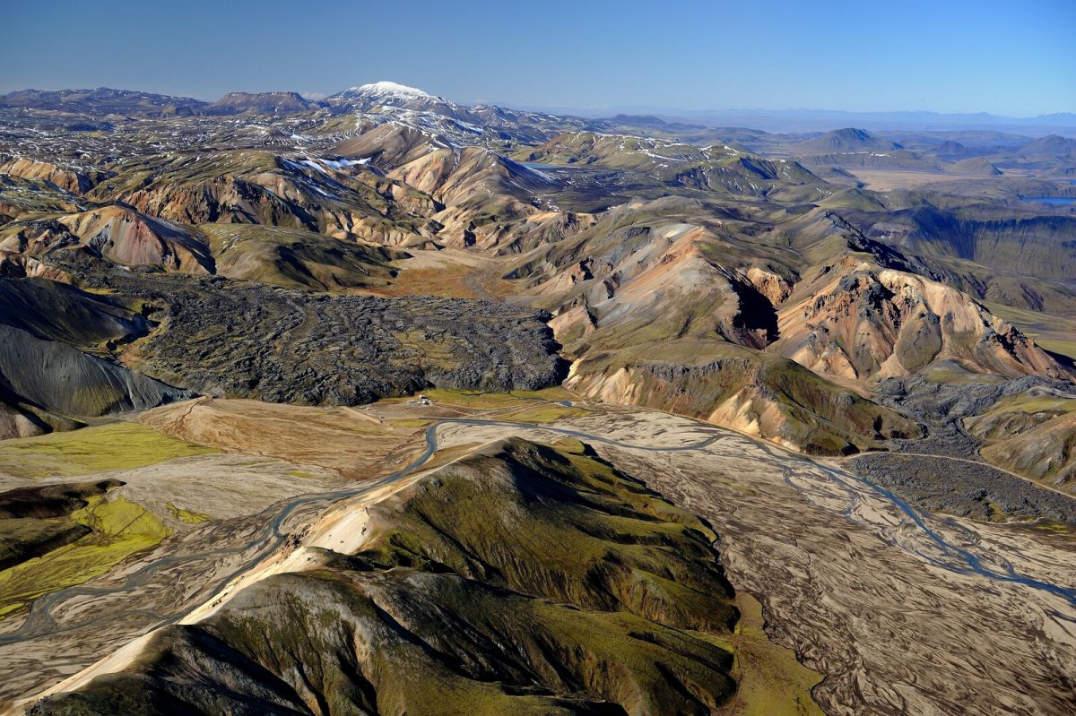
Landmannalaugar Nature reserve
Landmannalaugar derives its name from a hot pool that rises from under the Laugahraun lava field. Landmannalaugar has been a stopping point for people for centuries, and the mountain shepherds on Landmannaafréttur have stayed there while herding sheep off the mountain for as long as there have been reports of such travel.
Read more
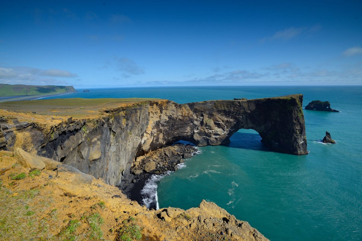
Dyrhólaey Nature reserve
Dyrhólaey is a 120-metre high promontory, not far from Vík. The place got its name from the massive arch that the sea has eroded from the headland. (The name literally means "door-hole"). When the sea is calm, big boats can sail through it. There has even been a maniacal daredevil pilot that flew through the arch with a small-craft airplane! From the top of Dyrhólaey there is a great view.
Read more
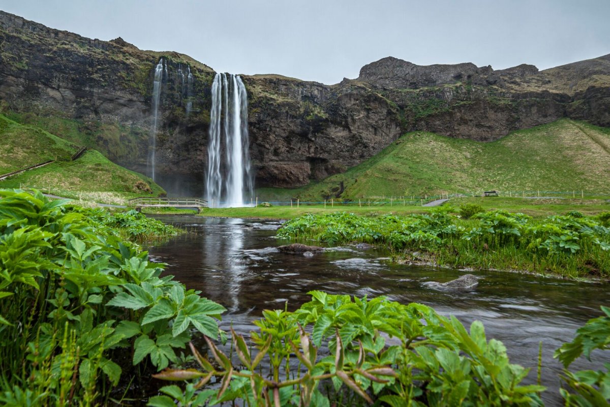
Seljalandsfoss Watarfall
A unique waterfall in the river Seljalandsá, about 30 km west from Skógar. It is 60 meters high with a footpath behind it at the bottom of the cliff, but with a thin cascade. It is the only known waterfall of its kind, where it is possible to walk behind it. The waterfall is very picturesque and therefore its photo can be found in many books and calendars.
Read more
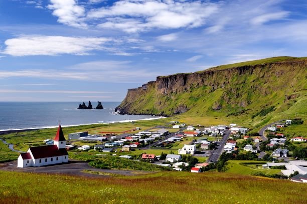
Katla UNESCO Global Geopark
Katla Geopark includes geological features of global significance. Over 150 volcanic eruptions have been recorded in the area since the 9th century. The eruptions created the landscape and influenced where people settled. Through the centuries, man and nature have affected the region’s history. The area is constantly changing due to volcanic activity.
Read more
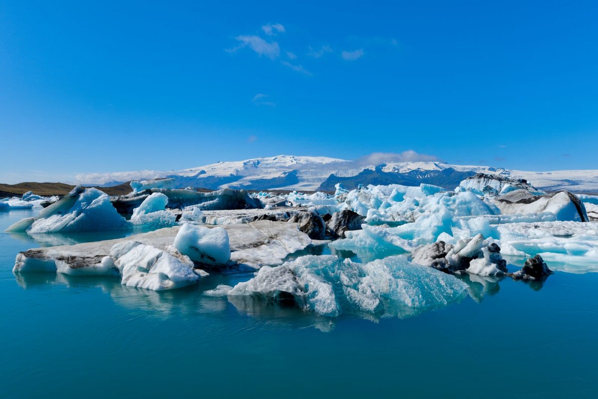
Jökulsárlón Glacier lagoon
Jökulsárlón is a glacial lagoon which still blue waters are a sight not to be missed, as it is dotted with the icebergs from the edge of Breiðamerkurjökull. The lagoon flows through a narrow gateway into the Atlantic Ocean, leaving the spectacular sight of the large chunks of ice on the black sandy beach.
Read more
Towns and Villages
ÁRNES
Árnes is a small village with inhabitants of ca 50. In Árnes, there is a small convenience store, a swimming pool, a campsite, and a guesthouse.
&he
ÁSAHREPPUR
Ásahreppur is a community on the western edge of Rangárvallasýsla and takes its name from “the ásar”, natural ridges in the area. On the Ring Road th
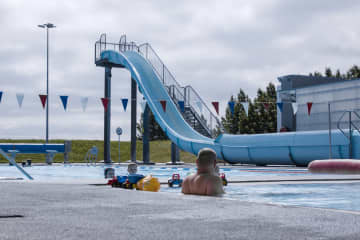
BORG
There is a growing community in Borg in Grímsnes, where there is a wide range of services for locals and tourists, including schools, kindergartens, s
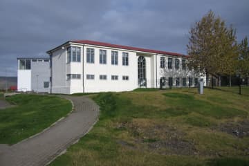
BRAUTARHOLT
A small village. Swimming pool, shop, community center and camp site.
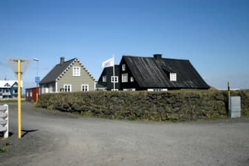
EYRARBAKKI
Eyrarbakki, pop. 585 is a friendly village that used to be the largest commercial community and main harbor on the South Coast of Iceland. Many preser
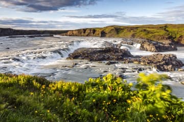
FLÓAHREPPUR
Flóahreppur is a peaceful municipality situated in South Iceland, between the two large Salmon Rivers Hvítá and Þjórsá. Flóahreppur is famous for its
FLÚÐIR
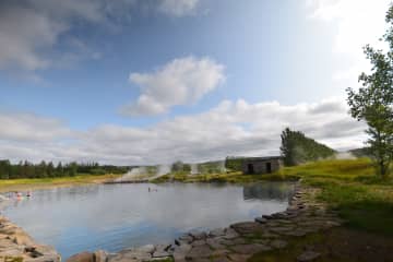
Flúðir is a rapidly growing community in the center of the Hrunamannahreppur district, about 25 minutes off the main Ring Road. The area is considered
HELLA
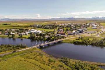
Welcome to Rangárþing ytra, one of Iceland’s largest municipalities in terms of geographical size, with around 2000 residents. It is one of three muni
HVERAGERÐI
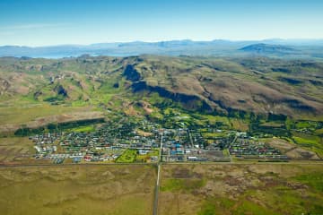
Hveragerði has long been a famous destination for tourists with many hotels and restaurants. Both summer and winter, Icelanders and foreigners alike h
HVOLSVÖLLUR
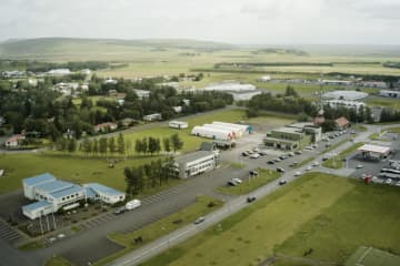
Rangárþing eystra, with a population of about 2100, is a vast district in central South Iceland and ranges from the highlands to the sea. It boasts ma
HÖFN
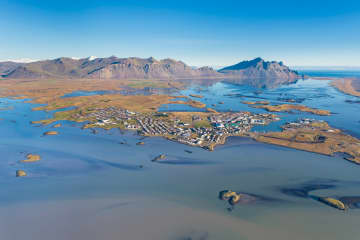
Hornafjörður is a blooming community close to the biggest glacier in Europe, Vatnajökull in the south eastern part of Iceland. The district’s most den
KIRKJUBÆJARKLAUSTUR
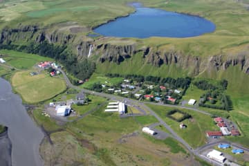
SkaftárhreppurSkaftárhreppur district is the center of the south of Iceland and the perfect location to stay while taking day tours to see many of Ice
LAUGARÁS
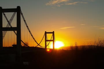
Laugarás is a vibrant village in South Iceland known for its geothermal energy, lush greenhouses and great visitor services. The newly opened Laugarás
LAUGARVATN
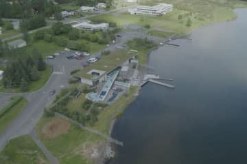
Laugarvatn is a shallow lake, about 2 km2 in size, and is located in the inlands of Árnessýsla, midway between Þingvellir, Gullfoss and Geysir, 100 km
REYKHOLT
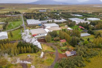
The development of the small village Reykholt started in the first half of the 20th century, when geothermal activity was discovered in the area. Ther
SELFOSS
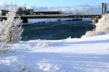
Selfoss, pop. 8.832 is the largest town in South Iceland and the main center of trade and industry. The distance from the capital is 57 km, and variou
SKÓGAR
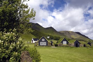
Skógar is a small village with about 25 inhabitants. Despite its small size, it has various accommodation and restaurant possibilities. Skógar used to
SÓLHEIMAR ECO-VILLAGE
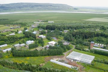
Sólheimar is considered the oldest Eco-Village in the world. Sólheimar was established as a children's home in 1930. Still, today, Sólheimar focuses o
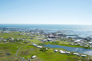
STOKKSEYRI
STOKKSEYRIStokkseyri, pop. 559 is a charming village renowned for its beautiful seashore, breaking ocean waves and birdlife, and rich in handicrafts a
The Golden Circle
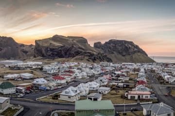
VESTMANNAEYJAR (WESTMAN ISLANDS)
The Westman Islands are a group of islands off the south coast of Iceland. They consist of 15 islands in addition to 30 cliffs and skerries that make
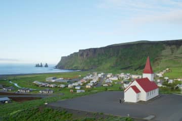
VÍK
Mýrdalshreppur is one of the three municipalities within Katla Geopark, a UNESCO Global Geopark. Vík in Mýrdalshreppur is situated in the center of th
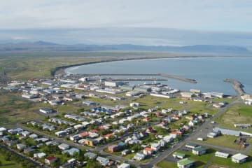
ÞORLÁKSHÖFN
The main town in Ölfus is Þorlákshöfn, west of Eyrarbakki. The town is important as a port because the only viable harbour on Iceland's southern coast
ÞYKKVIBÆR
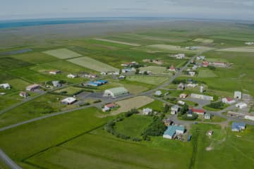
Residential area by Hólsá and south of Safamýri. Before, Þykkvibær was flooded in every way. People had to wade up to the waist or deeper to get betwe
ÖLFUS
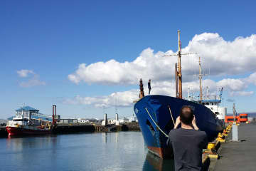
Ölfus municipality is located on the southwest coast of Iceland, approx. 50 km from Reykjavík capital. The population is slightly over 2000 inhabitant
Events
Travel Blog
-

From Candlelit Caves to Ink - A Lasting Souvenir from South Iceland
Three visitors recently took home an unforgettable souvenir from South Iceland after attending the Viking Feast hosted by Caves of Hella and Hotel Rangá inside one of the ancient man made caves in Hella. -

Thinking about using the Icelandair Stopover program ?
Are you thinking about using the Icelandair Stopover program – but not quite sure what to do with those extra days in Iceland? The beauty of the Stopover is that you can turn a simple connection between North America and Europe into a mini-holiday in Iceland, without adding extra airfare on the route. In just 1–3 days, you can see some of the country’s most iconic sights. -

Making the Most of a Rainy Day in South Iceland
One of the golden rules of traveling in Iceland is: always be prepared for the weather to change. Sunshine can shift into rain, mist, or strong winds in a matter of minutes. While this might seem inconvenient if you had planned a long hike or a day exploring waterfalls, it’s actually an invitation to discover South Iceland’s indoor treasures. From fascinating museums and exhibitions to geothermal bathing, local shopping, and delicious food, there is plenty to enjoy while staying warm and dry. Below are some of the best ways to spend a rainy day in South Iceland. -

Dive into the Local Life of Icelanders
One of the most unique and cherished aspects of Icelandic daily life is its bathing culture. From the smallest towns to the largest cities, geothermal pools and hot tubs are everywhere. And they are much more than just places to swim. For Icelanders, the swimming pool is a social hub, a wellness center, and in many ways, a part of the national identity.
Follow us and
experience South Iceland
experience South Iceland
#southiceland @southiceland


