Skip to content

    Or try searching by Category and/or Location

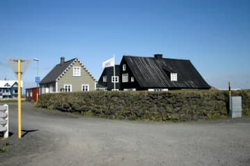
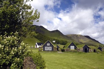
    Learn about living with active volcanos through enroot information panels, centres, and museums, where you can also purchase our hiking maps and booklets. Keep a keen eye out for activities and enterprises certified by Katla Geopark, which ensure you the best of local knowledge and local products.

    Geology
    Iceland lies astride the Mid-Atlantic Ridge, where tectonic plates move apart, causing a rift zone. In addition, a mantle plume is centred under the South-East of Iceland (Vatnajökull-glacier).

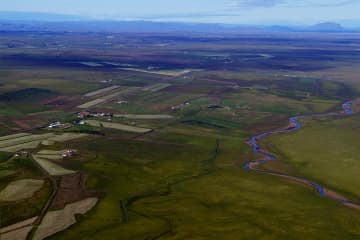
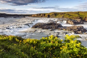
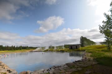
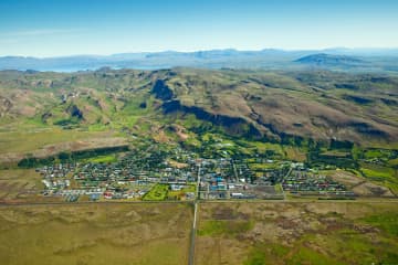
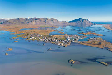
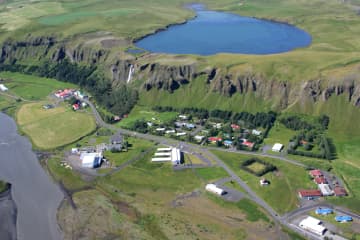
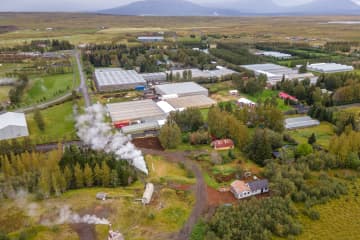
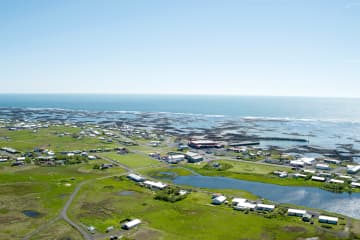
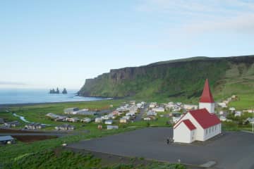
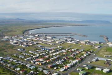
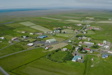
    Known for it´s waterfalls and black beaches with basalt columns and sea stacks, Katla Geopark (9542 km2) lies along the most volcanically active area of Iceland. The interaction between the rift zone and the mantle plume causes diverse and frequent volcanic activity, constantly changing the landscape and influencing the pattern of settlement and vegetation. Ice-capped central volcanoes rule the area. Outlet glaciers and glacial rivers flow from them, and outbursts from subglacial eruptions have formed the great outwash plains in the lowlands. You will find the world’s largest fields of rootless cones and the most extensive lava fields of modern times covered in fragile moss. The impressive crater row, Laki, and an open volcanic fissure, Eldgjá, are featured along the rift zone in the highlands. None of the rock you will see is older than 3 million years, and the youngest is yet to come…

    Highlights in Katla Geopark & Vestmannaeyjar

    ÁRNES

    ÁRNES

    Árnes is a small village with inhabitants of ca 50. In Árnes, there is a small convenience store, a swimming pool, a campsite, and a guesthouse.  &he
    ÁSAHREPPUR

    ÁSAHREPPUR

    Ásahreppur is a community on the western edge of Rangárvallasýsla and takes its name from  “the ásar”, natural ridges in the area. On the Ring Road th
    BORG

    BORG

    There is a growing community in Borg in Grímsnes, where there is a wide range of services for locals and tourists, including schools, kindergartens, s
    BRAUTARHOLT

    BRAUTARHOLT

    A small village. Swimming pool, shop, community center and camp site.
    EYRARBAKKI

    EYRARBAKKI

    Eyrarbakki, pop. 585 is a friendly village that used to be the largest commercial community and main harbor on the South Coast of Iceland. Many preser
    FLÓAHREPPUR

    FLÓAHREPPUR

    Flóahreppur is a peaceful municipality situated in South Iceland, between the two large Salmon Rivers Hvítá and Þjórsá. Flóahreppur is famous for its
    FLÚÐIR

    FLÚÐIR

    Flúðir is a rapidly growing community in the center of the Hrunamannahreppur district, about 25 minutes off the main Ring Road. The area is considered
    HELLA

    HELLA

    Welcome to Rangárþing ytra, one of Iceland’s largest municipalities in terms of geographical size, with around 2000 residents. It is one of three muni
    HVERAGERÐI

    HVERAGERÐI

    Hveragerði has long been a famous destination for tourists with many hotels and restaurants. Both summer and winter, Icelanders and foreigners alike h
    HVOLSVÖLLUR

    HVOLSVÖLLUR

    Rangárþing eystra, with a population of about 2100, is a vast district in central South Iceland and ranges from the highlands to the sea. It boasts ma
    HÖFN

    HÖFN

    Hornafjörður is a blooming community close to the biggest glacier in Europe, Vatnajökull in the south eastern part of Iceland. The district’s most den
    KIRKJUBÆJARKLAUSTUR

    KIRKJUBÆJARKLAUSTUR

    SkaftárhreppurSkaftárhreppur district is the center of the south of Iceland and the perfect location to stay while taking day tours to see many of Ice
    LAUGARÁS

    LAUGARÁS

    The development of the small village Laugarás started when geothermal activity was discovered in the area. There are numerous horticultural farms in t
    LAUGARVATN

    LAUGARVATN

    Laugarvatn is a shallow lake, about 2 km2 in size, and is located in the inlands of Árnessýsla, midway between Þingvellir, Gullfoss and Geysir, 100 km
    REYKHOLT

    REYKHOLT

    The development of the small village Reykholt started in the first half of the 20th century, when geothermal activity was discovered in the area. Ther
    SELFOSS

    SELFOSS

    Selfoss, pop. 8.832 is the largest town in South Iceland and the main center of trade and industry. The distance from the capital is 57 km, and variou
    SKÓGAR

    SKÓGAR

    Skógar is a small village with about 25 inhabitants. Despite its small size, it has various accommodation and restaurant possibilities. Skógar used to
    SÓLHEIMAR ECO-VILLAGE

    SÓLHEIMAR ECO-VILLAGE

    Sólheimar is considered the oldest Eco-Village in the world. Sólheimar was established as a children's home in 1930. Still, today, Sólheimar focuses o
    STOKKSEYRI

    STOKKSEYRI

    STOKKSEYRIStokkseyri, pop. 559 is a charming village renowned for its beautiful seashore, breaking ocean waves and birdlife, and rich in handicrafts a
    VÍK

    VÍK

    Mýrdalshreppur is one of the three municipalities within Katla Geopark, a UNESCO Global Geopark. Vík in Mýrdalshreppur is situated in the center of th
    ÞORLÁKSHÖFN

    ÞORLÁKSHÖFN

    The main town in Ölfus is Þorlákshöfn, west of Eyrarbakki. The town is important as a port because the only viable harbour on Iceland's southern coast
    ÞYKKVIBÆR

    ÞYKKVIBÆR

    Residential area by Hólsá and south of Safamýri. Before, Þykkvibær was flooded in every way. People had to wade up to the waist or deeper to get betwe
    ÖLFUS

    ÖLFUS

    Ölfus municipality is located on the southwest coast of Iceland, approx. 50 km from Reykjavík capital. The population is slightly over 2000 inhabitant
    Leaflet | © OpenStreetMap contributors