Gljúfrabúi


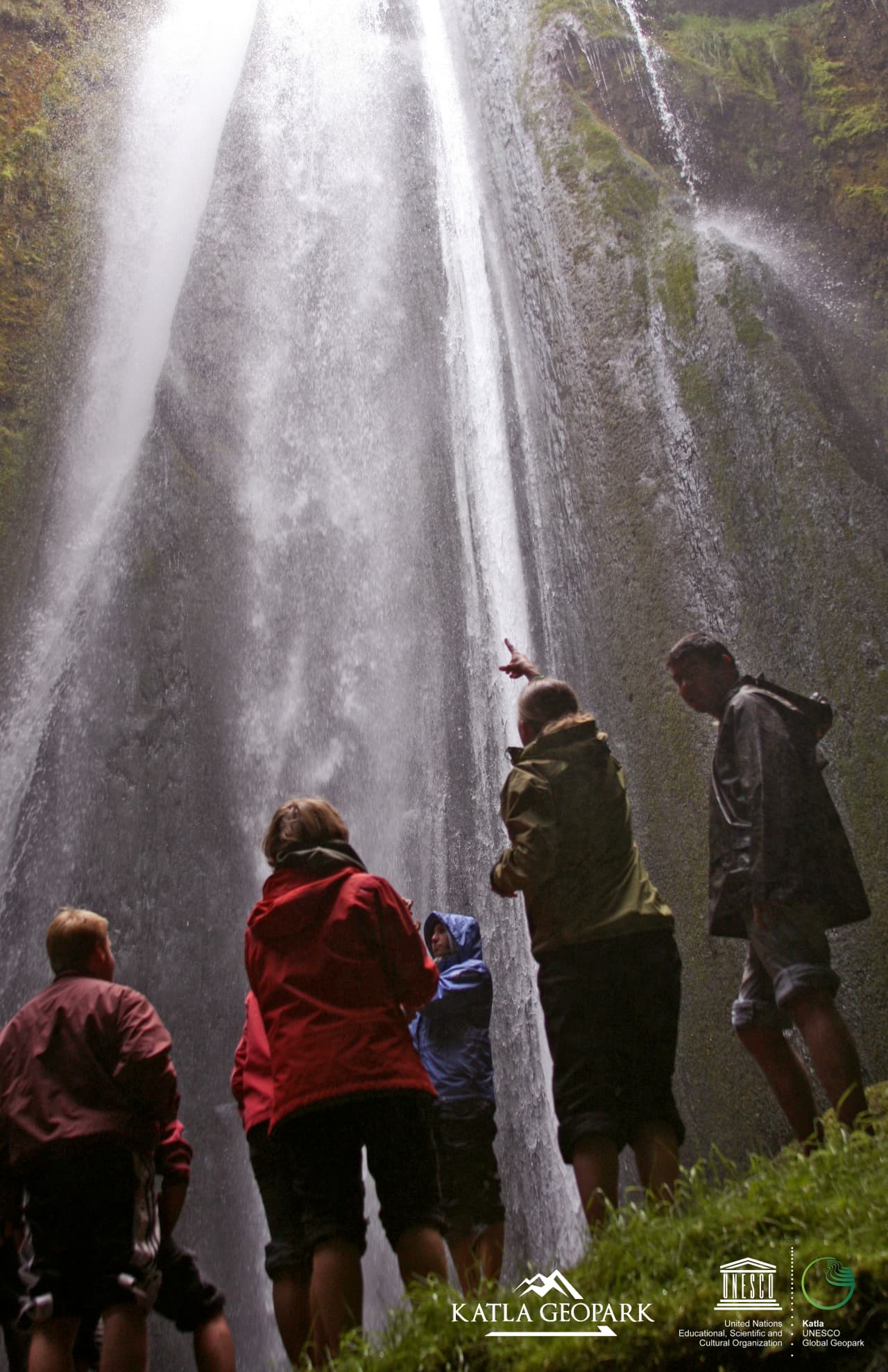


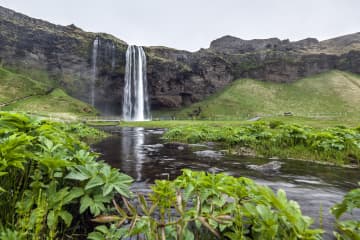
The waterfall Gljúfrabúi tumbles down from the Gljúfurá River. Its source is north of Tröllagil (Troll Gorge) Canyon in the heath Hamragarðaheiði. It is a spring-fed river and less voluminous than its neighbor Seljalandsá River. The river runs from Tröllagilsmýri (Troll Gorge Marsh), a picturesque fertile marsh in the heath. When the river emerges out of the marsh, it runs into the northern edge of a lava field formed in the volcanic eruptions in Eyjafjallajökull at the beginning of the Holocene. There are several little waterfalls to be found in the river in the area.
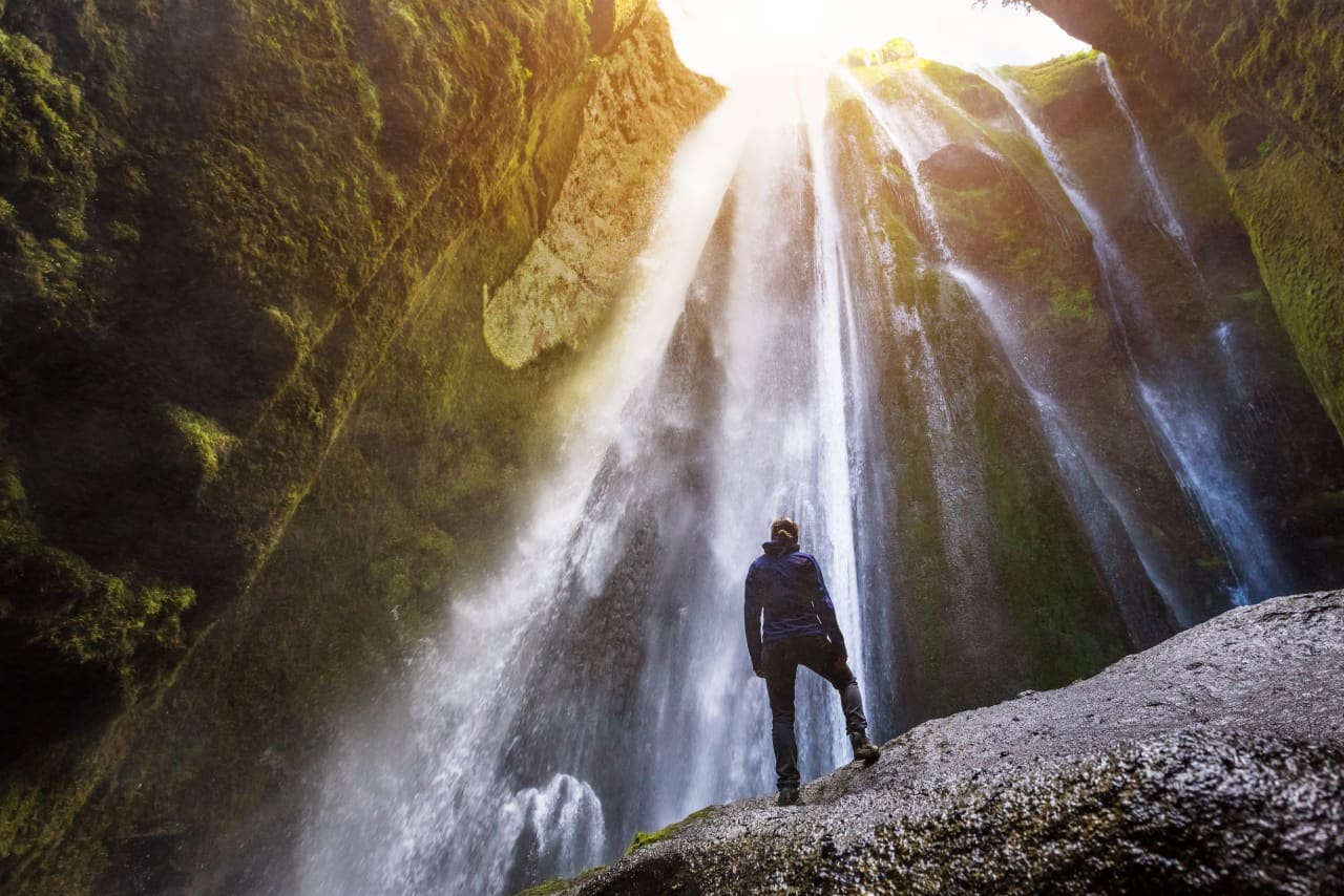
Gljúfrabúi, which is 40 m tall, is on the land of the uninhabited farmstead Hamragarðar which the Rangá Foresty Society received as a gift in 1962 and is now owned by the municipality of Rangárþing eystra. There is a certain mystique over the waterfall because it falls into a deep chasm, while in front of it, there is much palagonite rock that blocks the waterfall so that only the very top of it is visible. The boulder that blocks the waterfall is called Franskanef. Previously, people believed that it and the surrounding cliffs were the residences of huldufólk or hidden people. It is possible to take off your shoes and wade the river down in the canyon. It’s a fantastic experience. Caution must be taken when traveling in the canyon because there is a risk of falling rocks. There is an old bath basin below Franskanef, and at the inner end of the basin, there is a little cave called Ömpuhellir, named after a hermit woman who lived there. Gljúfrabúi is a protected natural monument.
A little south of Gljúfrabúi, there is a small canyon in the cliff face from which it is possible to ascend onto the heath above, where there is a spectacular view of the neighboring area. People referred to it as going up Stígurinn (the path); thus, the river in that canyon is named Stígslækur (Path Brook). The path is still relatively clear, with some stairs where it is steepest. Right above the edge, there are ruins of old sheepcotes from Hamragarðar.


