Skip to content

Or try searching by Category and/or Location

Discover the vicinity of Lakagígar - stage seven of The Volcanic Way

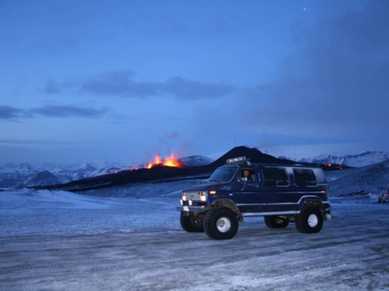
The vast lava fields of the Lakagígar region can seem otherworldly. Two significant volcanic eruptions produced these mystical landscapes: The Eldgjá eruption in the year 934 and the Laki eruption in 1783-84. Now covered by thick moss, the lava fields are bright green when it rains but adorn a grey hue on dry days. Geology and history are tightly knit together in this region, with unique and beautiful spots such as Fjaðrárgljúfur canyon, Dverghamrar basalt columns, and the countless Álftaversgígar pseudo-craters. A jeep tour to Lakagígar or Eldgjá brings you to the volcanic makers of the lava that so characterizes the region.

Activities - Lakagígar

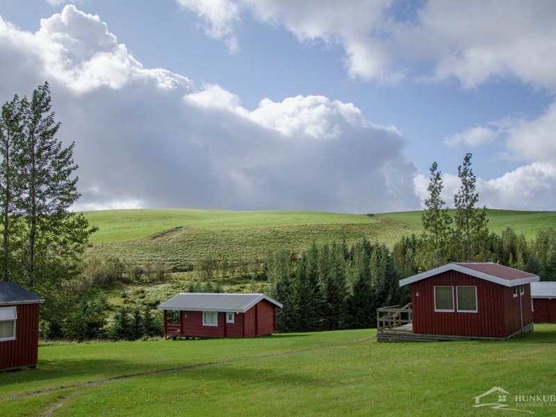
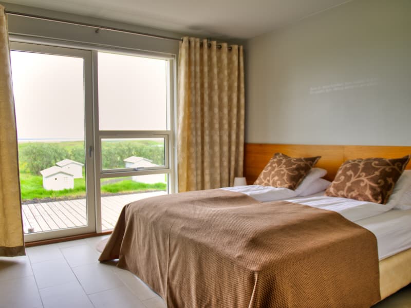
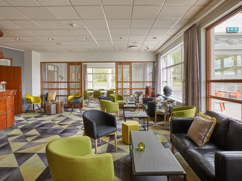
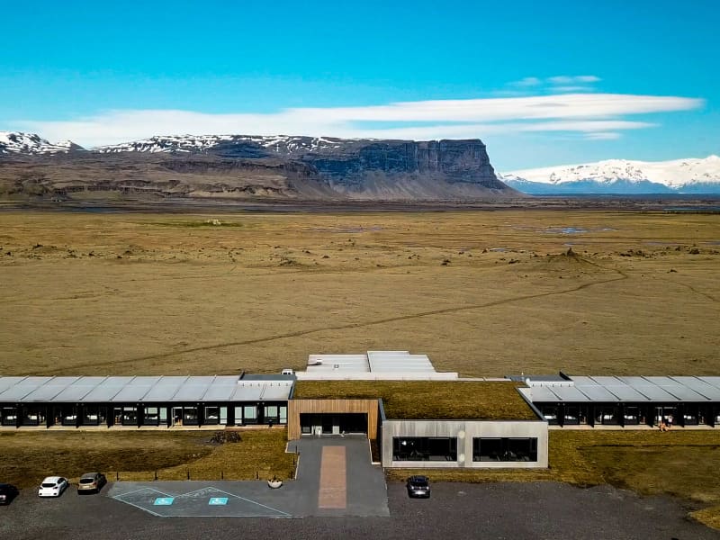
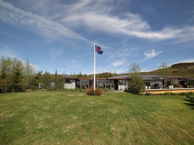
Accommodation - Lakagígar

Volcanic wisdom

Lakagígar (Laki craters) were formed in the Skaftáreldar eruption in 1783. It unleashed a massive lava flow covering 580 km² and produced toxic ash and gases. This 8-month-long event created a sulfurous haze affecting the northern hemisphere, with harsh winters and famines, potentially contributing to the French Revolution.

The aftermath, known as móðuharðindin or the "famine of the mists," lasted until 1785. Devastating livestock losses and over 10,000 human deaths occurred, wiping out more than 20% of the population. The Skaftáreldar eruption serves as a reminder of nature's formidable power and its far-reaching consequences.

This 8-month-long event created a sulfurous haze affecting the northern hemisphere, with harsh winters and famines, potentially contributing to the French Revolution.

Fun fact: The lava flow from the Skaftáreldar eruption covered a staggering 580 km², which is roughly equivalent to the size of Chicago, the third-largest city in the United States.


Lakagígar

Lakagígar craters - photograph by Páll Jökull Pétursson

The Stages of The Volcanic Way

1. Fagradalsfjall
Located in Reykjanes Peninsula, a captivating geological wonderland where the raw power of nature is on full display.
2. Hengill
As you reach the vicinity of Hengill, you will start noticing steam rising from hills, mountains, and even within the town of Hveragerði.
3. Hekla
Hekla has been dubbed the Queen of Iceland’s volcanoes. The one that has erupted most frequently in recent years;
4. Eyjafjallajökull
Eyjafjallajökull is an ice-capped volcano that famously erupted in 2010, its ash cloud affecting air traffic widely in Europe.
5. Eldfell
One fateful night in 1973, the people of Westman islands woke up to a volcanic eruption at the edge of the town.
6. Katla
The vicinity of Katla is recognized by its vast black sands. While the volcano itself is hiding under thick layers of ice, its surrounding glacier, Mýrdalsjökull, is a majestic sight.
7. Lakagígar
The vast lava fields of the Lakiagígar region can seem otherworldly. Two significant volcanic eruptions produced these mystical landscapes:
8. Öræfajökull
Vatnajökull glacier is everpresent as you explore the easternmost part of The Volcanic Way. Its highest peak is Öræfajökull, a stratovolcano at Vatnajökull's southern edge
Frequently asked questions
Questions and answers for anyone traveling The Volcanic Way