Fjaðrárgljúfur canyon
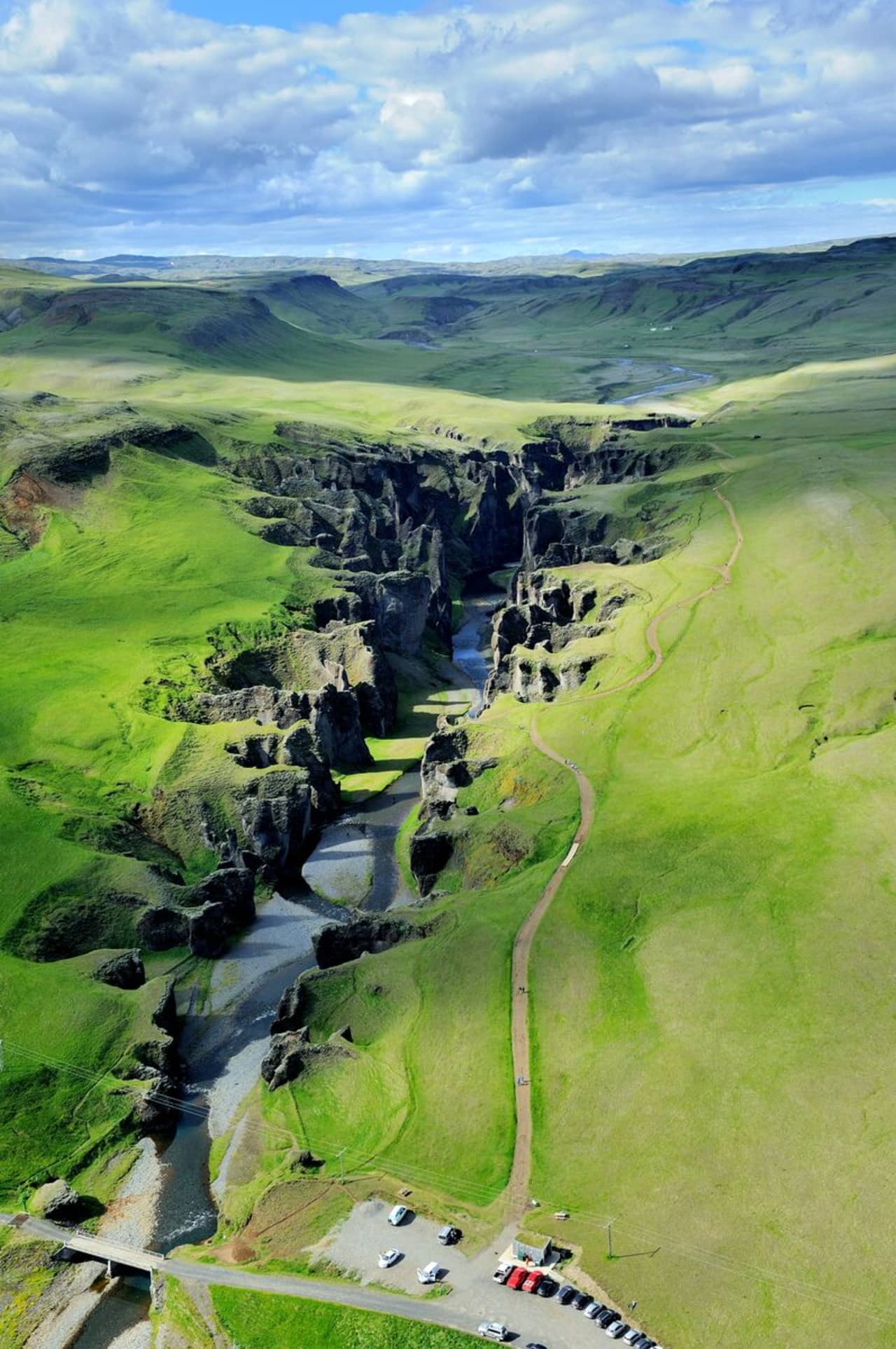
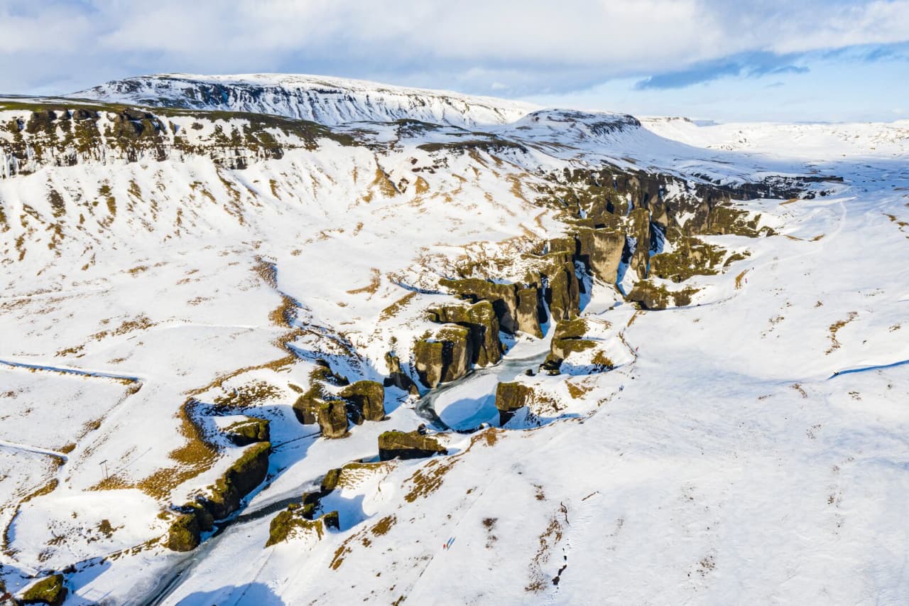
Fjaðrárgljúfur is 6 kilometers from Road 1; take road F206. People can travel by small cars to Fjaðrárgljúfur all year round. Fjaðrárgljúfur is a magnificent and massive canyon, about 100 meters deep and about two kilometers long. The canyon has sheer walls and is somewhat serpentine and narrow. The bedrock in Fjaðrárgljúfur is mostly palagonite from cold periods of the Ice Age and is thought to be about two million years old. The river Fjaðrá has its source in the mountain Geirlandshraun and falls off the heath edge in this stunning canyon until it makes it down into the Skaftá river. Fjaðrá has changed a lot over time.
Formation of the Fjaðrárgljúfur canyon
It is believed that Fjaðrárgljúfur was formed at the end of the last Ice Age, about nine thousand years ago. When the glacier retreated, a lake formed in the valley behind a hard, resistant rock. The run-off from the lake flowed to where Fjaðrárgljúfur is today. Glacial rivers from the glacier’s edge carried a lot of sediment into the lake, and the river which ran from it dug itself down into the rock and down onto the palagonite in front of it. Because the cascade was so large, it was powerful in digging out the canyon. Eventually, the lake filled with sediments, and the river’s strength dwindled. When the lake filled up completely, the river began to dig into the sediment layers it had previously left in the valley. Fluvial terraces on both sides of the valley indicate the original height and location of the lake while a deep channel in the palagonite serves as a silent reminder of the power of nature.
More geosites in the neighborhood: www.katlageopark.com


